
The Environmental Health Video Tutorials provide learning assistance for the Environmental Health FetchGIS service. Videos are organized by series and/or topic and target specific tasks and tools used to complete common workflows for mapping a Site Plan. New users not familiar with mapping should work through the videos in sequential order to maximize learning benefits.
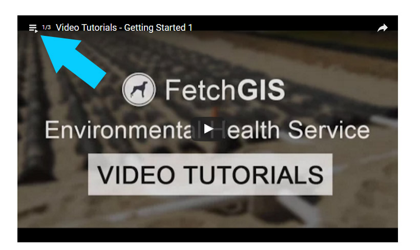
To jump to a specific video, select the Playlist Menu located in the upper left hand corner of the Playlist as displayed below using the blue arrow. This will open a a list of videos in a Playlist that can be selected to view.
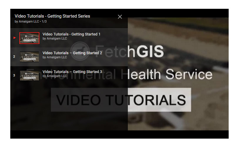
The Getting Started series introduces basic concepts of map navigation, managing map content, including layer visibility, viewing layer symbology, understanding layer groups and using the information window, and using the search option to find a parcel.
Getting Started 1: provides an overview of map navigation tools.
Getting Started 2: using search options to locate a property or road intersection.
Getting Started 3: introduces the concept of layer groups, map layers, layer symbology, layer visibility and using information windows.
Getting Started Series - 3 Videos
The Introduction to Mapping series works through mapping a general site plan to build familiarity with common mapping tools and information input (feature attributes) options. You will learn how to map a number of features (septic tank, measurement lines, well, etc.) that commonly located on a site.
Introduction to Mapping 1: add a benchmark and elevation mark to the site plan, and create measurement lines to a new building location. Use polar angle, parallel, perpendicular and reverse angle tools to map measurement lines.
Introduction to Mapping 2: add a building to the site plan using two different options to map polygons.
Introduction to Mapping 3: create measurement lines to septic tank location and add septic tank to site plan.
Introduction to Mapping 4: create measurement lines to drain field and map drain field. Modify isolation distance on drain field. Use Auto Laterals tool to map seven (7) laterals in drain field.
Introduction to Mapping 5: add soil borings to site plan, enter soil boring information and use the 90 Degree Tool to create measurement lines between two features (benchmark and soil boring).
Introduction to Mapping 6: complete site plan mapping by adding a water well and modify the well radius.
Introduction to Mapping 7: mapping septic tank and drain field using points rather than polygons.
Introduction to Mapping - 7 Videos
The Advanced Mapping series introduces new tools and workflows for accomplishing more complex mapping tasks. In these videos you will learn how to edit features and archive mapped features using the Snapshot tool.
Advanced Mapping 1: use the Delete and Delete Multiple tools to remove mapped features. Update information (attributes) for a septic tank.
Advanced Mapping 2: use the Snapshot tool to archive mapped features for preliminary to final site plan workflows and to preserve a failed system such as a drain field that is being replaced.
Advanced Mapping 3: edit the building in the site plan using the Move, Rotate and Reshape editing tools.
Advanced Mapping 4: mapping a site plan that is on an angle by establising a baseline from which to map the system components.
Advanced Mapping - 4 Videos
The System Point video provides an introduction to adding onsite wastewater components and other information to a System Point.
System Point - Introduction: understanding the System Point and adding onsite wastewater components, such as a septic tank and disposal area, to a System Point using either a new record or by mapping the components.
System Point - Introduction